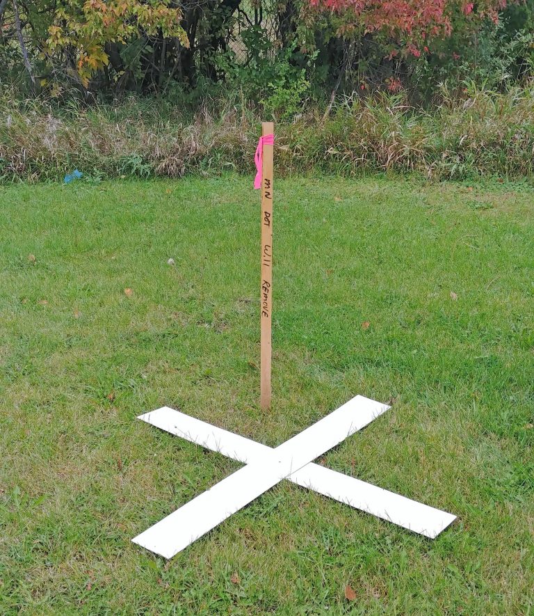
MnDOT conducting aerial photography work in southwest Minnesota
The Minnesota Department of Transportation will conduct aerial mapping in southwest Minnesota this spring. The mapping will create a record of existing infrastructure and landscape along, and adjacent to, MnDOT right of way for transportation planning and highway design. This work is conducted when there is no snow and before trees leaf out.